Just 200 km north of Cape Town, South Africa, you’ll find a unique area that boasts a wide range of landscapes – from rugged mountains to lush river valleys.

Steep sandstone formations, appearing rusted from iron oxide and etched with ancient rock art, makeup parts of the Cederberg Mountains. Rugged trails wind through other sections, with over 70,000 hectares of protected wilderness for outdoor adventurists to enjoy.
At the base of the Mountains, the Olifants River Valley features fertile soil, perfect for growing rows of citrus belonging to some of the country’s most successful orchards. The area’s variable topography and climate provide the ideal conditions for many other crops, including grapes, and large expanses of colourful wildflowers.
Groundwater Feeds the Region
Located in the Valley at the base of the Mountains, Citrusdal is described as “a bustling rural village set amongst lush green citrus orchards”i. The small town in Western Cape, South Africa is dominated by agriculture – most notably the citrus farms that give the town its name.
Groundwater feeds this agricultural region. Recently, demand on the high-quality resource has increased. There are over 50 relatively high-yielding groundwater abstraction wells used by the rural community.
Managing the Groundwater Supply
The rise in groundwater usage initiated the implementation of a groundwater monitoring program. Groundwater consulting company GEOSS runs the project, which focuses on managing groundwater resources for several farms spread throughout the Citrusdal valley.
Overseeing the several pumping wells is a challenge as each provides a vital resource to the groundwater user. Some wells are isolated, while others may be hydrogeologically connected – groundwater usage at one farm could affect another.
Continuous Groundwater Level Monitoring
Critical to proper management, the program includes continuous groundwater level measurements. GEOSS uses Solinst Leveloggers in a number of their applications, as such, Levelogger water level dataloggers are also used in the Citrusdal program.
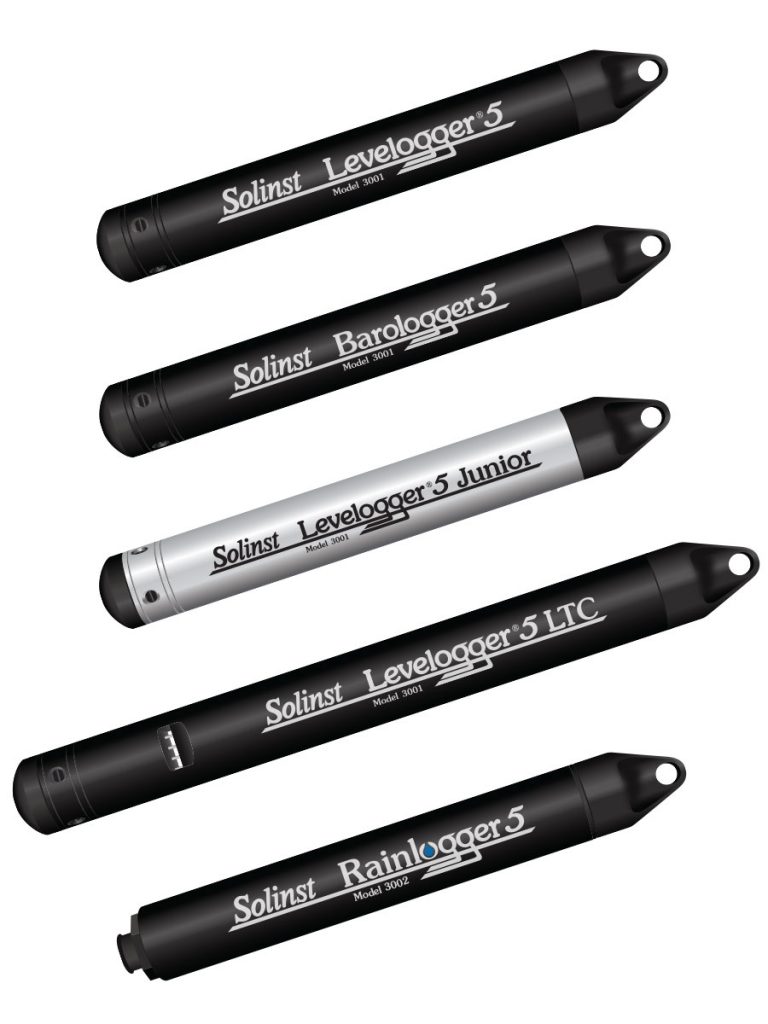
The Model 3001 Levelogger 5 is an accurate water level and temperature datalogger that provides a compact method of recording uninterrupted, long-term data. The Levelogger 5 consists of an absolute pressure sensor, temperature thermistor, datalogger and 10-year lithium battery, in a stainless steel housing with a PFAS-free corrosion-resistant coating inside and out. A memory for 150,000 sets of readings allows higher-resolution data with more frequent readings. Accuracy is 0.05% FS.
Get a Quote!
At any given time, 30–40 boreholes in the area are equipped with Solinst Leveloggers. Leveloggers are installed in active pumping wells and monitoring wells using wireline deployment. A Solinst Model 102 Water Level Meter with narrow cable is used to take periodic manual depth to water measurements.

Typically, the Leveloggers are set to record water levels every 15–30 minutes continuously. (Levelogger programming is flexible, allowing unique instances when recording is required at different intervals).
The Levelogger data is downloaded each month. A Solinst DataGrabber is used to collect the readings – a simple, compact device that transfers the water level data from the Leveloggers to a USB storage device.

After the Levelogger data is barometrically compensated (using Barologger data and Solinst Levelogger Software), it is stored in excel spreadsheets for further examination.
GEOSS staff compares the previous month’s data and interprets the monthly trends. Findings are shared with their clients. The data provides insights on when pumping needs to decrease, or if it can be increased.


Sustainable Groundwater Resource Management
Continuous groundwater level data helps provide a clearer picture of how the abstraction wells may interact with one and other, allowing better management at each borehole.
Michael Holloway of GEOSS says, “The gathering of data in this project is important for the future management of increased groundwater use”.
For a region that relies on groundwater for it’s natural beauty, agriculture, livestock and other livelihoods, continued data collection is essential in ensuring sustainable management of the resource as demand increases.
Solinst thanks Michael Holloway, head of the GEOSS Monitoring Business Unit, for providing the details of this project.
––––––––––––––––––––––––––––––––––––––––––––––––––––––––––––––––––––
i Citrusdal Tourism Office: https://www.citrusdal.info