Tag: water level monitoring

Assessing Coastal Flood Vulnerability To Sea Level Rise Enhanced By Extreme Events In Preferential Flow Pathways

Building Community Resilience Community resilience in the face of sea level rise and extreme events, such as atmospheric rivers and highest astronomical tides (HAT), is a pressing concern for coastal regions worldwide, including coastal California. James Jacobs, a PhD candidate researcher at the University of California Santa Cruz and experienced hydrogeologist, is investigating whether utility… Continue Reading »

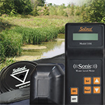
5 Tips For Getting The Most Accurate Readings From A Sonic Water Level Meter

The Solinst Sonic Water Level Meter works by a probe at surface transmitting a low frequency sound wave into a pipe, tube, or well, and measuring the time it takes for the pulse to return after making contact with water. The depth to water is calculated using the speed of sound and time. The depth to static water level is displayed on the LCD screen of the control unit after just a few seconds… Continue Reading »

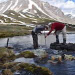
Water Level Data Helps To Understand The Effects Of Climate Change On Alpine Lakes

The Canadian Rocky Mountain Parks are designated as UNESCO World Heritage Sites for their “exceptional natural beauty”. The seven parks – Banff, Jasper, Kootenay, Yoho, Mount Robson, Mount Assiniboine, and Hamber – are known for their scenic mountain peaks, meadows, canyons, caves, hot springs, and glaciers. Their pristine alpine lakes also draw millions of visitors to the parks each year. But as we hear so often… Continue Reading »

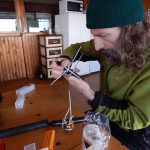
levelogger being prepared to gather water level data in caves

Levelogger Data Collected From The Deepest Caves On Earth

Lithuanian speleologists (cavers) are using Solinst Leveloggers to collect water level data from some of the deepest caves on Earth! Between 2008 and 2012, cavers completed four expeditions to the Krubera Cave—the world’s deepest. During an expedition in 2008, two Leveloggers were deployed more than 1700 metres… Continue Reading »

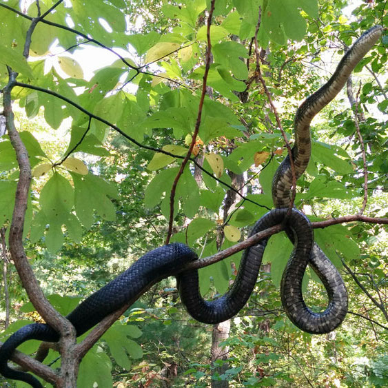
Solinst Water Level Meter Helps Characterize Habitat Of Endangered Snake

Long Point Basin Land Trust (LPBLT) is a charitable, non-government organization located in Port Rowan, Ontario, Canada. They work to establish and maintain areas of ecological importance and promote conservation throughout the Long Point Basin community. A major focus of LPBLT is the preservation of Carolinian reptile populations. This past winter, LPBLT teamed… Continue Reading »

Leveloggers Monitor Irrigation Channels In Peru

Irrigated agriculture in Peru has been an important part of the country’s growth and development, dating back before the Incan Empire. Recently, concerns including water stress, declining water quality, and vulnerability to climate change have induced a push from the Peruvian government to improve the performance of the existing irrigation systems. The National Water Authority… Continue Reading »

Programming a Levelogger in the Field for Surface Water Monitoring

Long-term Open Channel & Surface Water Monitoring With Leveloggers

Leveloggers are used for measuring water levels in various surface water monitoring applications, including: flood and drought monitoring, base flow monitoring in stream beds, watershed recharge studies, stream gauging, lake and reservoir level monitoring, harbour and tidal fluctuation monitoring, wetlands monitoring, stormwater runoff monitoring, construction site runoff management, ecological studies, field… Continue Reading »